


la coste

PatriceCocuaud
User

Length
12.4 km

Max alt
402 m

Uphill gradient
145 m
Km-Effort
14.7 km

Min alt
193 m

Downhill gradient
250 m
Boucle
No
Creation date :
2021-08-21 08:01:53.781
Updated on :
2021-08-21 15:47:04.338
7h43
Difficulty : Very easy

FREE GPS app for hiking
 SityTrail
IGN / Geographical institutes
SityTrail Plus
The world is yours!
About
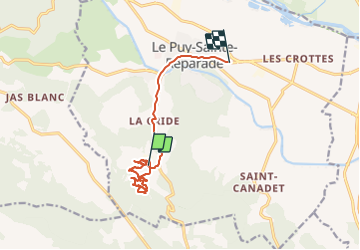
Trail Walking of 12.4 km to be discovered at Provence-Alpes-Côte d'Azur, Bouches-du-Rhône, Le Puy-Sainte-Réparade. This trail is proposed by PatriceCocuaud.
Positioning
Country:
France
Region :
Provence-Alpes-Côte d'Azur
Department/Province :
Bouches-du-Rhône
Municipality :
Le Puy-Sainte-Réparade
Location:
Unknown
Start:(Dec)
Start:(UTM)
695191 ; 4834199 (31T) N.
Comments